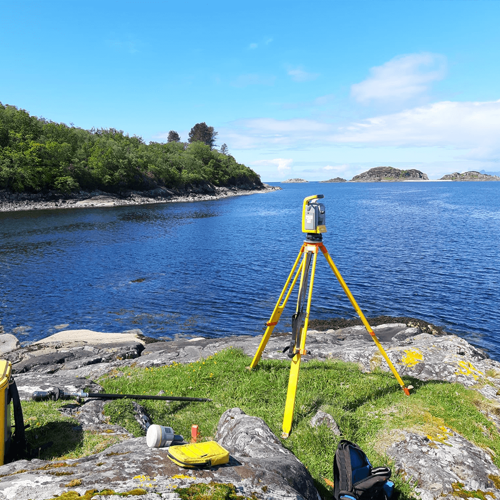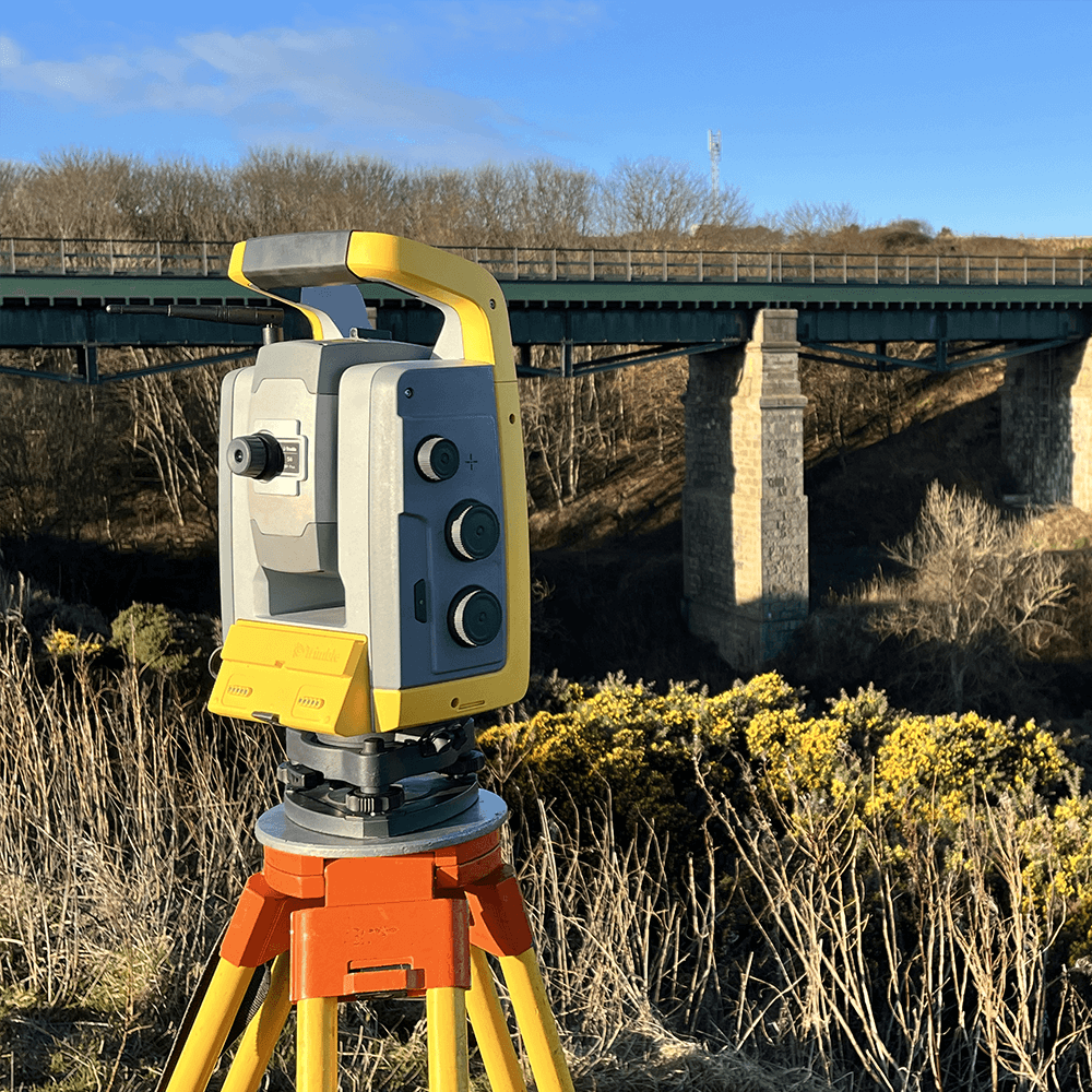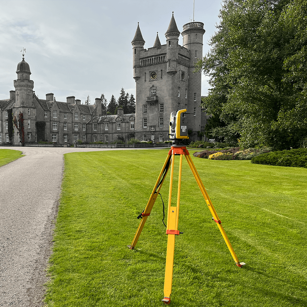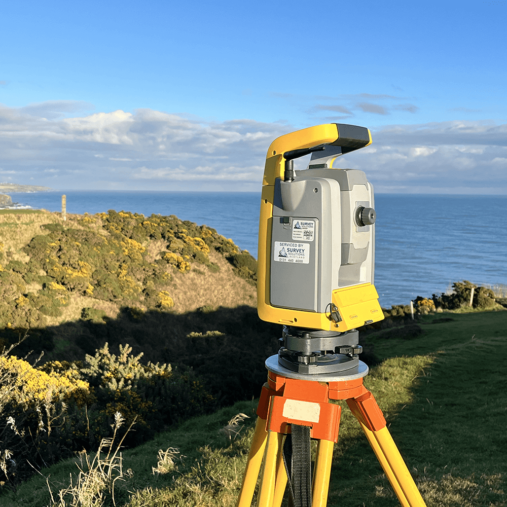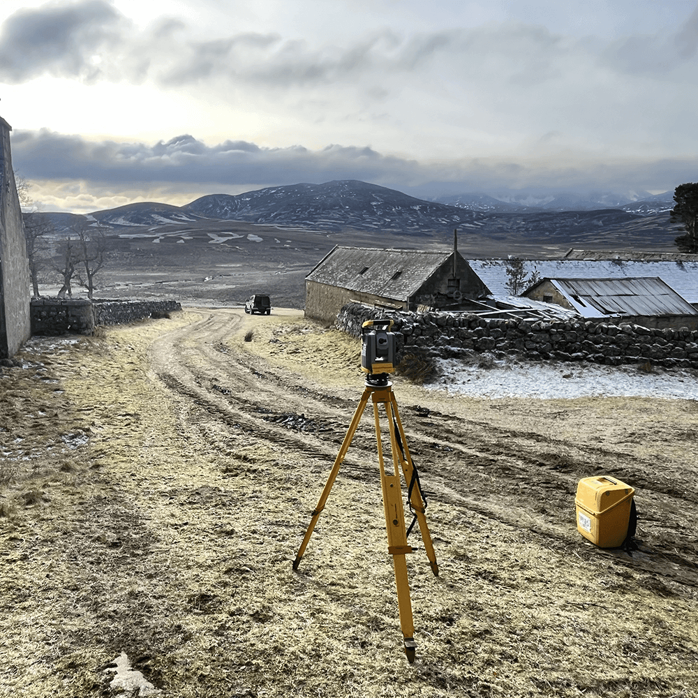

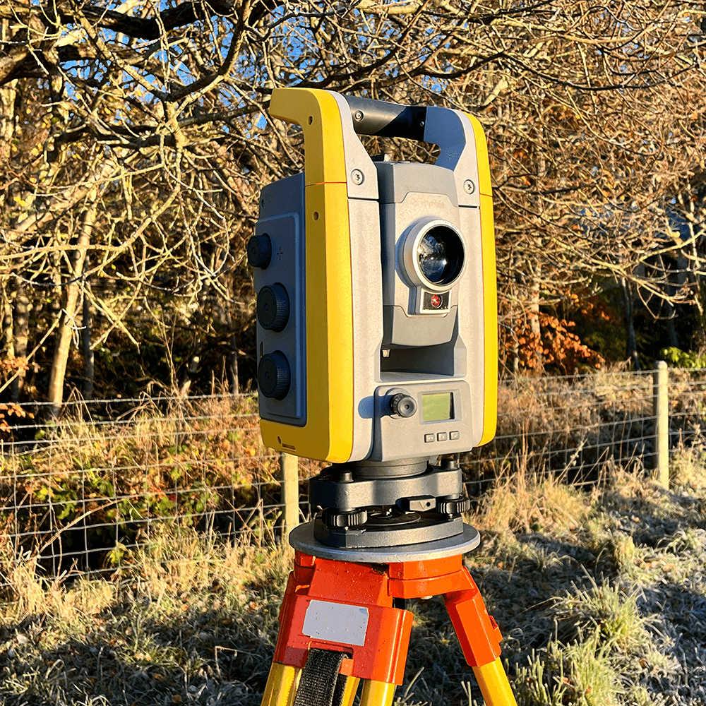
At Granite City Surveys, we aim for our topographical surveys to provide the cornerstone of precise and informed project planning. Whether it be Trimble electronic total stations, laser scanners or GPS, the choice of equipment is dictated by the unique demands of each project, ensuring that the data we collect is tailored to the site’s specific attributes.
Precisely collected data is analysed and processed using specialised survey software, converting the raw data into a triangulated terrain model, which serves as the foundation for an array of deliverables crafted to meet our client’s precise requirements. From 2D plans that lay out the land’s intricacies with accuracy to volume calculations essential for construction planning.
Survey data can be provided in a range of formats, with the flexibility to accommodate each client’s unique needs. These formats often include 2D or 3D AutoCAD drawings or PDFs, ensuring that the data can be seamlessly integrated into your project, no matter the scale or complexity.